
Traffic Patterns
Recommended closed circuit traffic patterns. Actual patterns flown are dependent on pilot and aircraft performance limitations.


All charts are provided for informational purposes only and are not authorized for navigation.
Instrument Approach Procedures
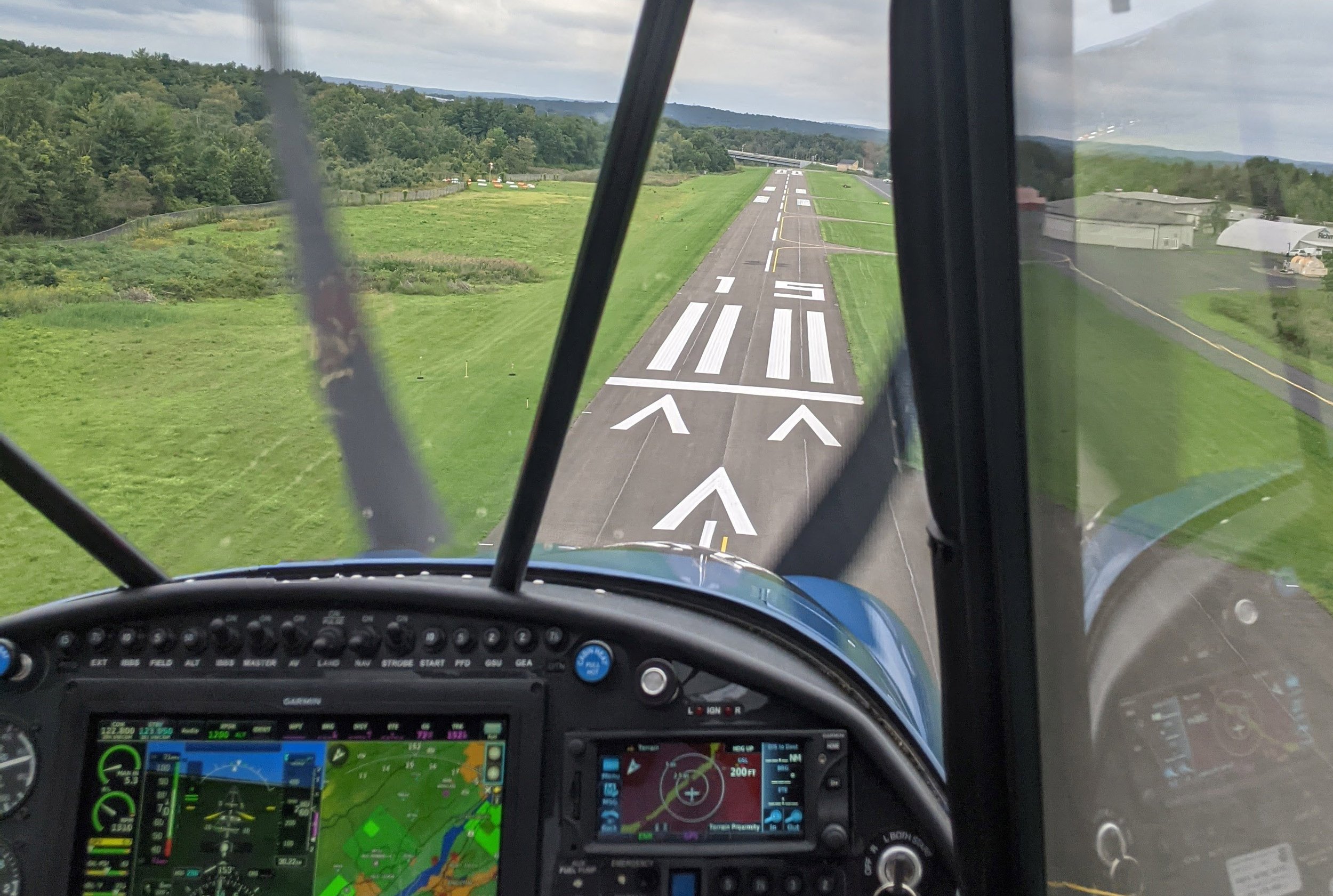
These are the procedures pilots use to descend to Runway 15 and Runway 33 when flying on instruments. The orange dots superimposed on the aviation chart are GPS navigational fixes and the orange line represents the course between those two fixes. Pilots descend in accordance with the inset plan view. The line underneath the altitudes indicates pilots must not descend below that altitude until they are beyond that fix.

All charts are provided for informational purposes only and are not authorized for navigation.


